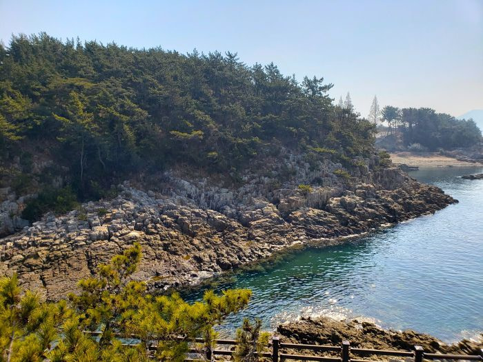
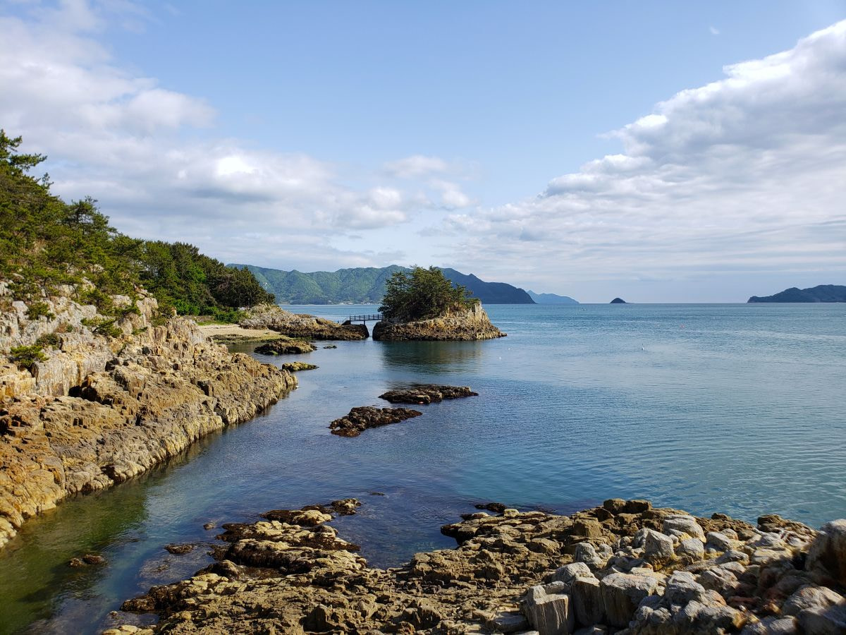
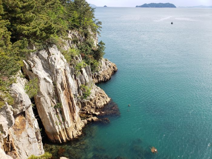
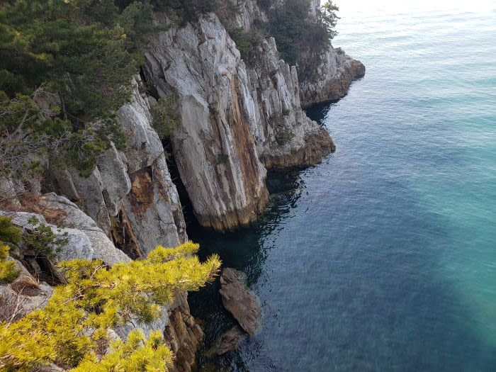
Turquoise water meets hexagonal-sided columnar joints at this observation deck. A short hike from the deck takes you to a special island.
I had an encounter with the Korean military at the island. More on that later!
In the map below, #1 refers to a suggested starting point of this trail, and #2 is the observatory just above the rock cliffs where the columnar joints are. Across the water from #2 is 상족암군립공원 and the 고성공룡박물관과. The special island is a little ways beyond #2.
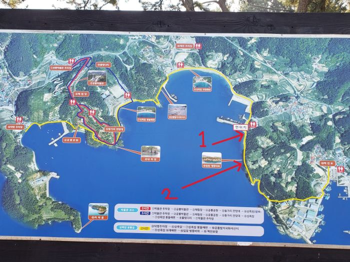
Observatory
The Korean name for this place with the rock formation and observation deck is 입암 병풍바위.
You can pick up this trail at a small breakwater around the address at the top of this post. This breakwater was under construction at the time of my visits in March and also in April 2022.
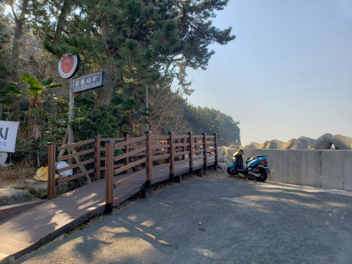
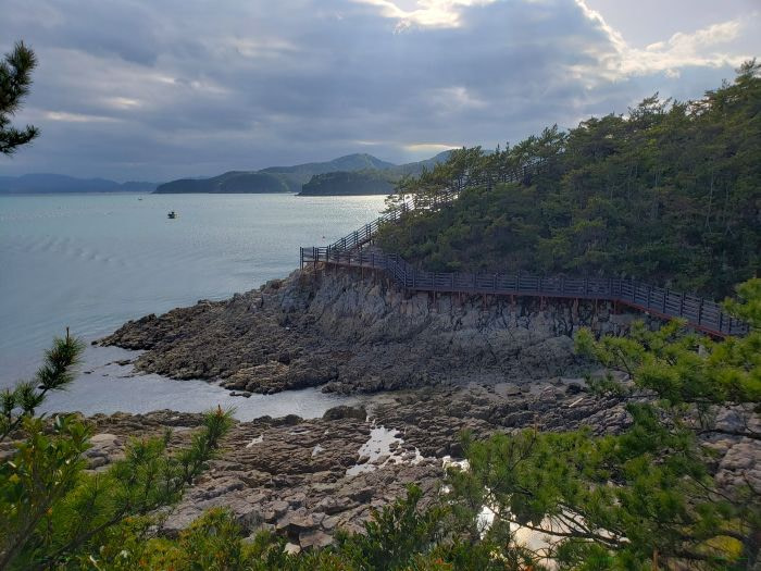
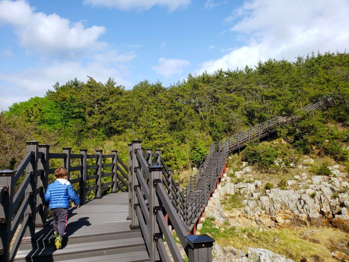
The boardwalk runs along the coastline and brings you to set of stairs with short steps.
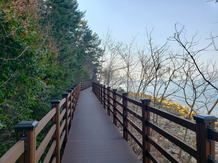
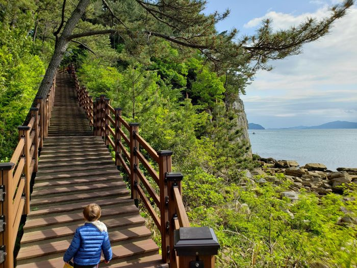
A sign seems to say that this goes through a private area and requests visitors to respect and have gratitude for the trail.
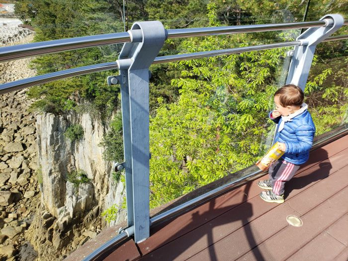
The observatory extends a bit over the cliff and water below. There is also a see-through section of the floor.
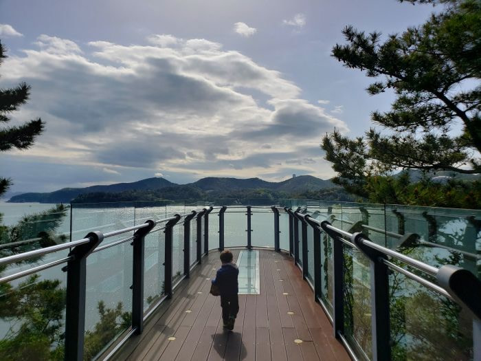
Walking into the observatory deck, immediately on the left are the columnar joint rock formations. The photo below is unedited. It shows the beautiful turquoise color of the water around these rocks.
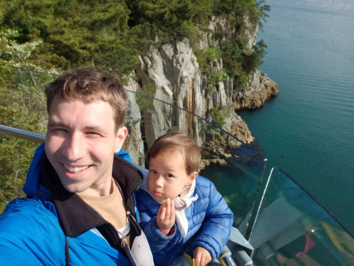
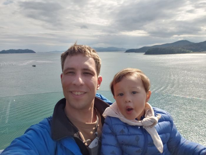
Noah liked to travel with his snacks. Some of our adventures were quite off the beaten path and it was always nice to have a snack ready if needed.
Coastal Trail
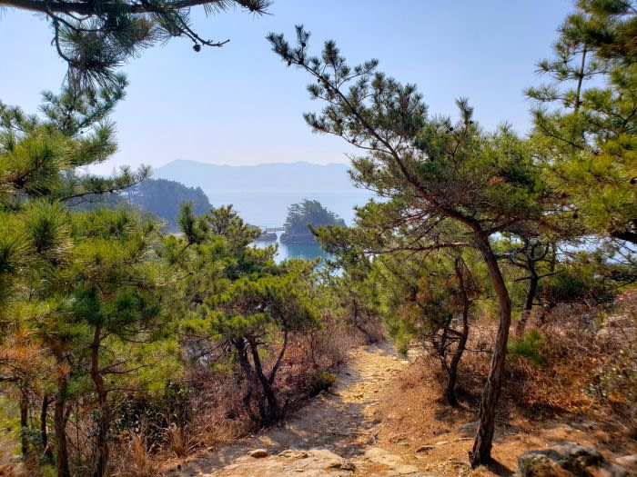
From the observatory deck, a coastal trail keeps going. It’s not very far to get to the island. I could see the island with a little bridge in the distance.
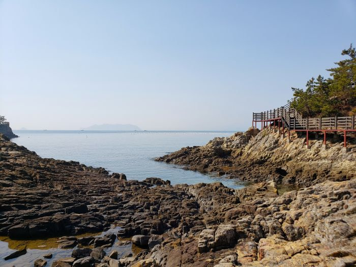
Eventually a set of stairs leads down to another boardwalk along an area full of these rock formations.
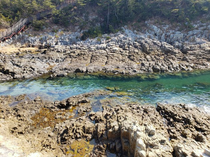
The boardwalk does a curve around these rocks, and then winds up along another hill.
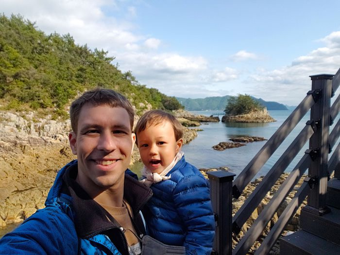
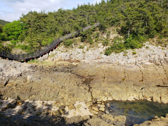
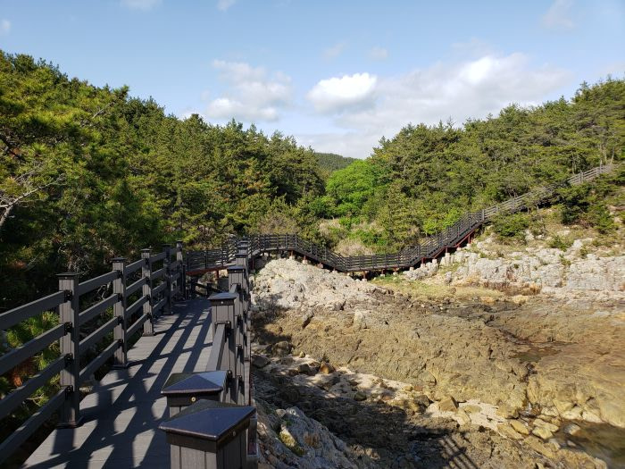
The lower the tide, the more exposed rock there is.
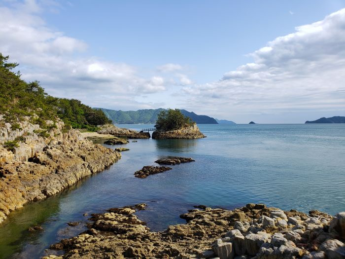
It is tempting to climb around on the rocks.
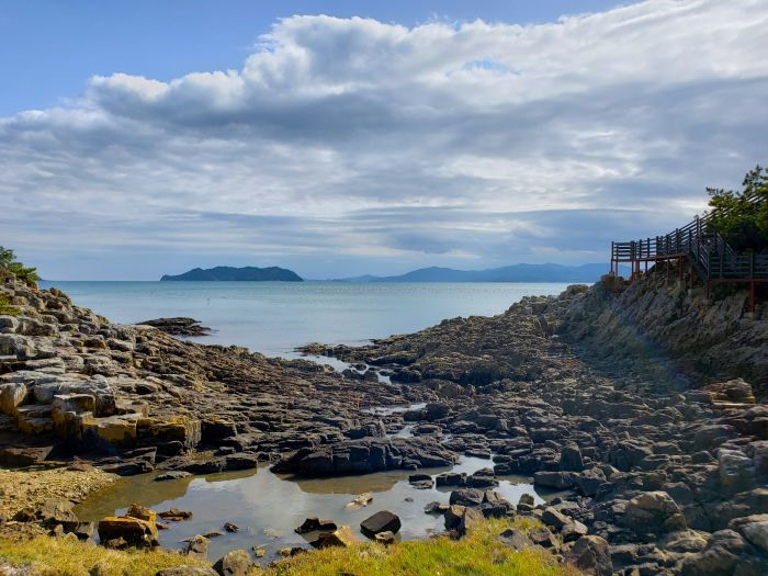
I only picked Noah up for the photos. He walked the whole way by himself, which he wanted to do.
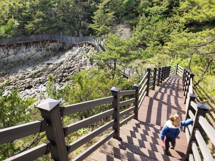
The trail ends up along a military facility. The path runs alongside the building for just a bit.
Island
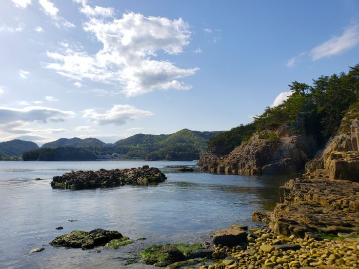
Eventually this gives way to a rocky beach. Noah explored the rocks and got to do one of his all-time favorite things: tossing rocks into the water.
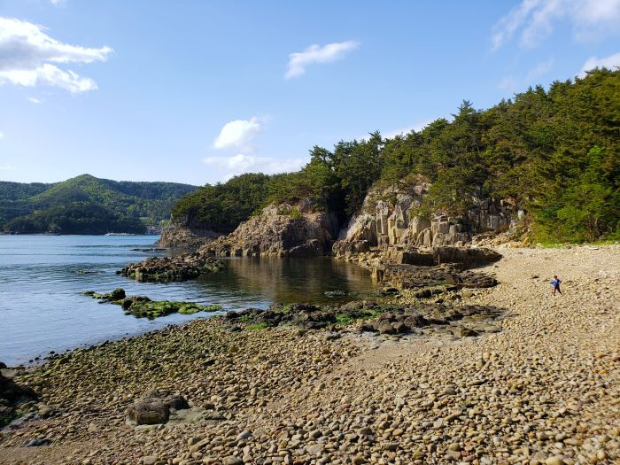
The island is here at this beach. A low tide exposes seaweed.
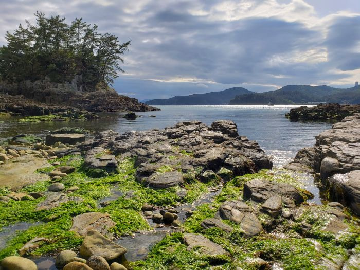
It is here that I was approached by an armed Korean soldier. I was a bit alarmed as his weapon was quite intimidating, and my Korean language abilities were limited, but he was nice and asked to check the photos I took to make sure I was not taking photos of the militarized facilities including details on the island. It is prohibited to enter the island or to take photos of the facilities which I made sure to obey. There are signs posted on the bridge to the island that explain this to visitors (in Korean; I don’t believe it was in English).
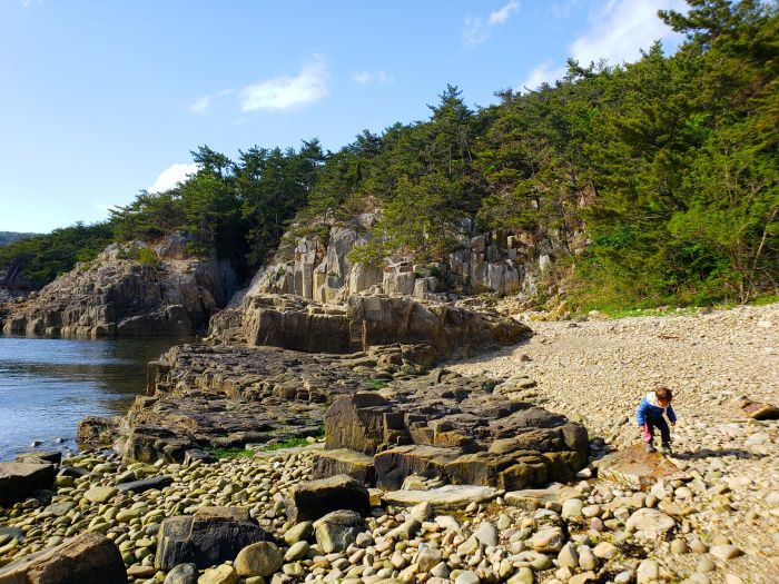
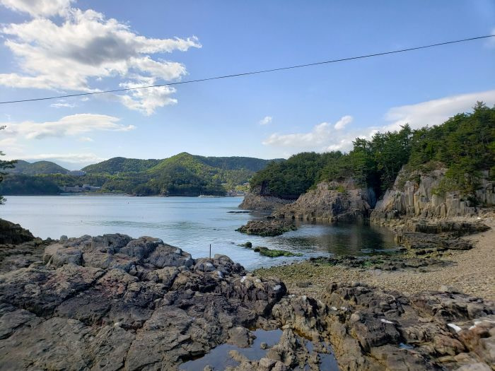
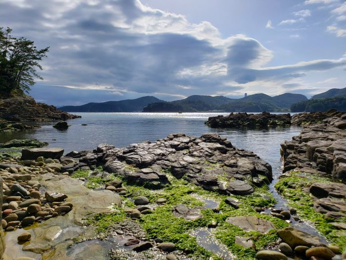
Overall it’s a nice little hike especially if you’re already in the Sangjogam area and enjoy more of the hiking and natural aspects of the area.
